
Chuck's morning forecast for Wednesday, May 8, 2024.
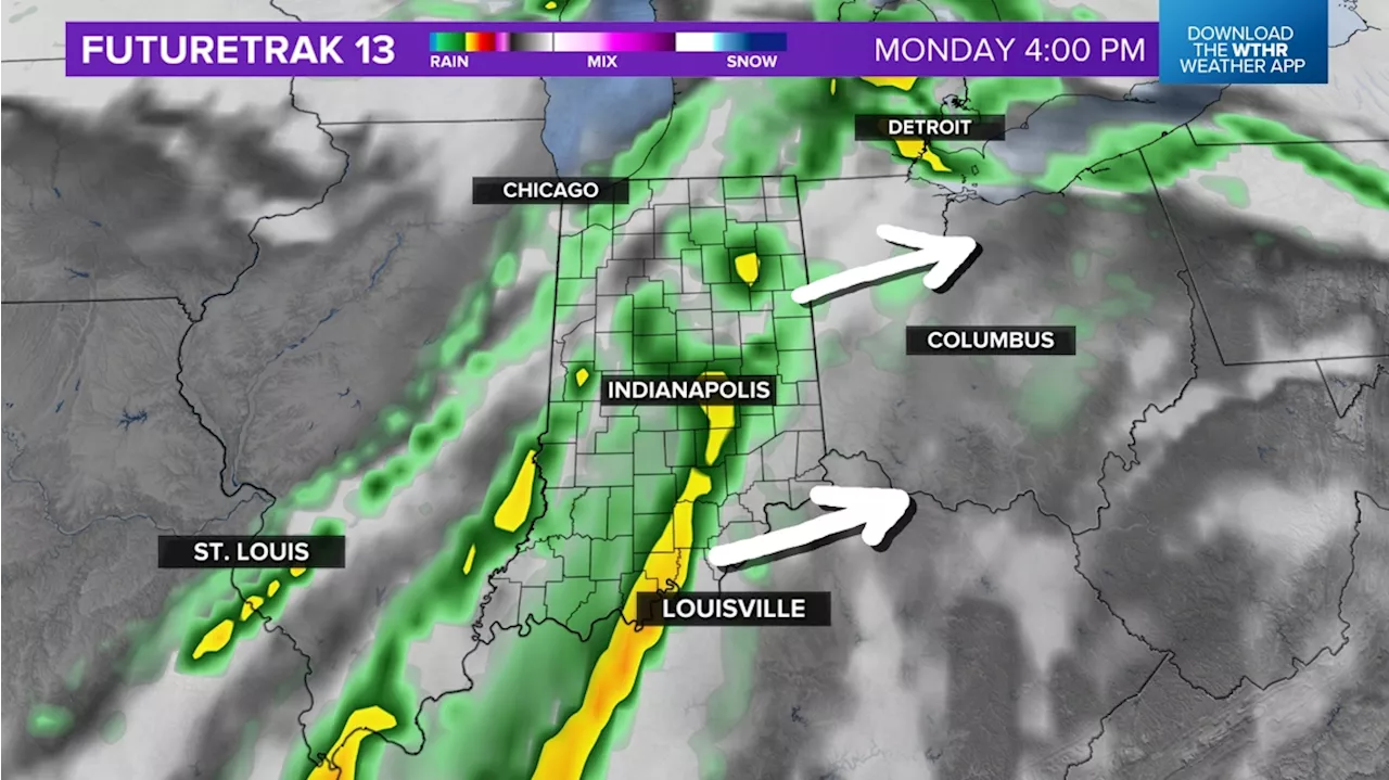
All modes of severe weather are possible, but the primary threat will be damaging wind gusts, then heavy rainfall leading to localized flooding overnight.INDIANAPOLIS — There is a stalled warm front across the southern tier of the state this morning. This will allow for lots of quiet and dry hours, and
As this boundary lifts northward later today, the threat of storms will increase on the south side of the front, impacting central and especially southern parts of Indiana. Storms have already started to fire up in the"warm sector" of this system closer to the Kansas City area.Mainly after 4 p.m. through 10 p.m. around the metro area and potentially as late as 3 a.m. for southeastern portions of the state.
United Kingdom Latest News, United Kingdom Headlines
Similar News:You can also read news stories similar to this one that we have collected from other news sources.
 Timing out Tuesday storms, severe weather threat | Live Doppler 13 Weather BlogChuck's morning forecast for Tuesday, May 7, 2024.
Read more »
 Severe storm timeline for today, tomorrow | Live Doppler 13 Weather BlogChuck's morning forecast for Tuesday, May 7, 2024.
Read more »
 Severe storm risk ramps up this week | Live Doppler 13 Weather BlogChuck's morning forecast for Monday, May 6, 2024.
Read more »
 Rain timeline & storm threat today | Live Doppler 13 Weather BlogLindsey's morning forecast for Monday, April 29, 2024.
Read more »
 Monday rain, storm timeline | Live Doppler 13 Weather BlogIn one of our warmest weeks of the year so far, Indiana will have several chances for showers and storms.
Read more »
 Storm zone heading east to Indiana by Monday | Live Doppler 13 Weather Blog13News meteorologist Matt Standridge is taking a look at the storm possibilities for central Indiana.
Read more »