
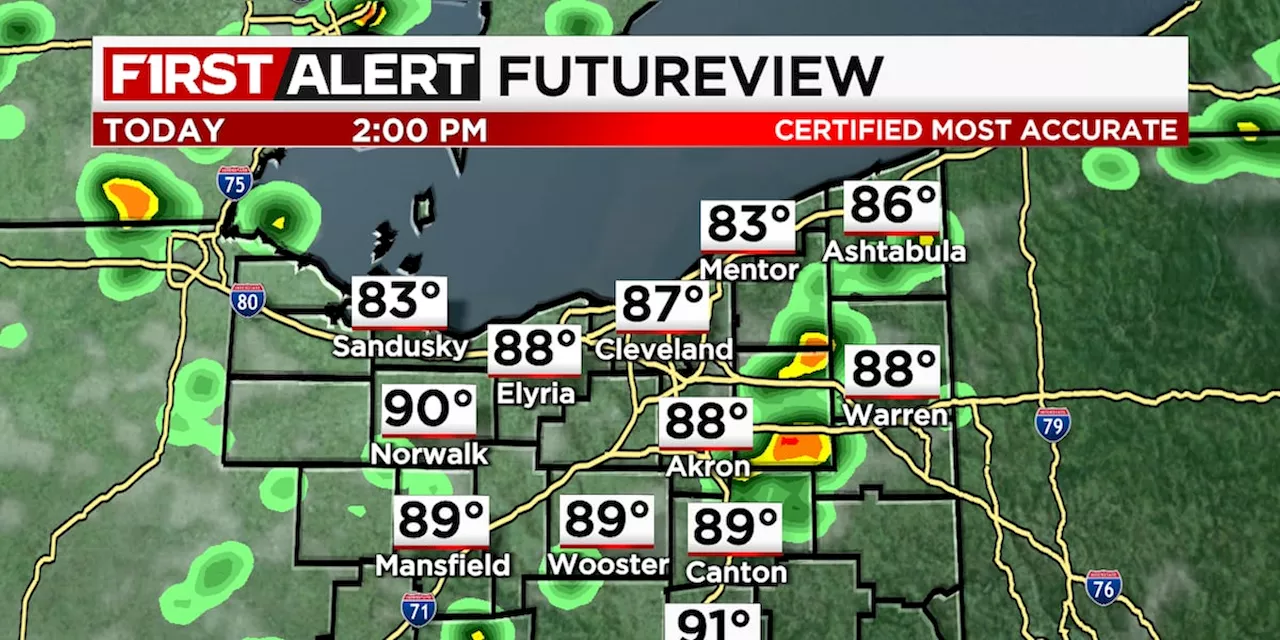
Partly cloudy sky today.
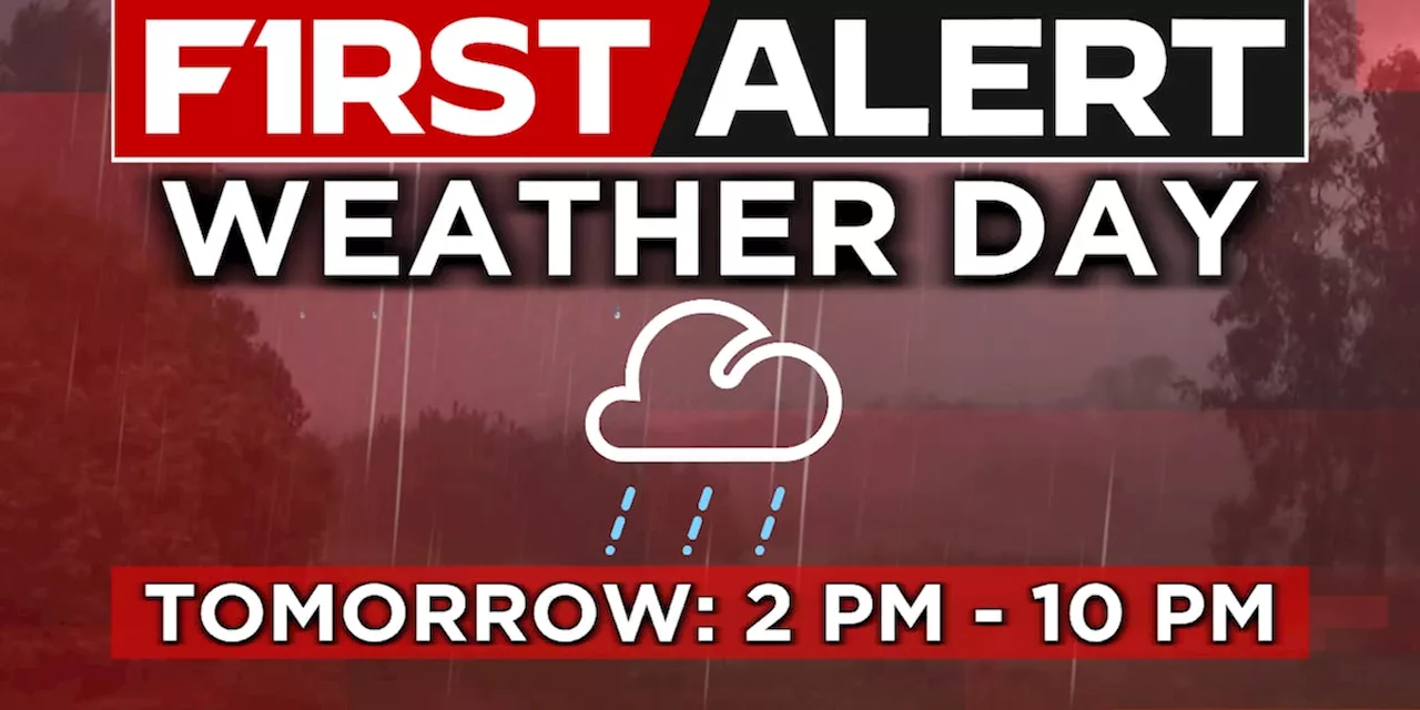
CLEVELAND, Ohio - We are enjoying one last dry day before the chance for showers and storms return tomorrow.
Currently, our entire area is outlined under a Level 1 out of 5 risk for severe storms. This means coverage should remain more isolated in terms of severe weather. This will lean towards a mainly dry forecast for most north of US 30 Thursday. That said, for those south of the US 30 corridor, if that boundary stalls out, a few afternoon showers and storms cannot be ruled out Independence Day.As the forecast stands, Fourth of July fireworks plans Thursday evening look dry with temperatures into the upper 70s and low 80s.
United Kingdom Latest News, United Kingdom Headlines
Similar News:You can also read news stories similar to this one that we have collected from other news sources.
 19 First Alert Day: Storms possible Wednesday afternoon and evening, some strong to severePartly cloudy and warm today.
Read more »
 19 First Alert Day: Strong to severe storms possible into this eveningHumid today with isolated morning showers then thunderstorms move in late this afternoon.
Read more »
 19 First Alert Weather Day Wednesday: Potential for severe storms late-dayDamaging wind gusts and heavy rainfall are the main risks.
Read more »
 19 First Alert Day: Heat Advisory remains in effect; gusty storm possibleHot and humid with isolated showers and storms today.
Read more »
 19 First Alert Weather Day: Scattered storms overnight; some may produce heavy rainHumid today with isolated morning showers then thunderstorms move in late this afternoon.
Read more »
 19 First Alert Day: Sweltering heat begins today; risk of afternoon stormsHot and humid today. A mix of sun and clouds with a few afternoon storms popping up.
Read more »