Sea level rise is a pressing concern because of its potential to exacerbate coastal flooding, erode shorelines, and displace communities
A map shows where in Alaska may be at risk of serious flooding from sea level rise by 2100.A new study from University of Alaska Fairbanks graduate student Richard Buzard, found that communities in coastal Alaska, from the Yukon-Kuskokwim Delta northward, could see many buildings exposed to serious flooding if developments continue. The study is published in the journal Scientific Reports.
A 100-year flood refers to a statistical event that has a 1% chance of occurring in any given year. However, this information is lacking for many remote Alaskan communities.Buzard's research hopes to address this gap in knowledge.He investigated flood risk for communities along the Bering, Chukchi and Beaufort sea coasts by creating a coastal flood database from written accounts and observations.
United Kingdom Latest News, United Kingdom Headlines
Similar News:You can also read news stories similar to this one that we have collected from other news sources.
 Pink sea pigs, transparent sea cucumbers discovered in area targeted by deep-sea minersNo 1 source of global mining news and opinion
Read more »
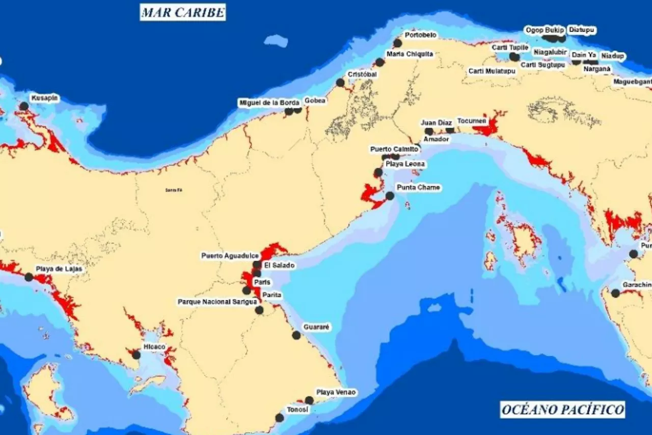
 Panama Map Shows Sea Level Rise Impact by 2050Some 2 percent of Panama's total land area is at risk of coastal flooding by 2050, a new study has found.
Read more »
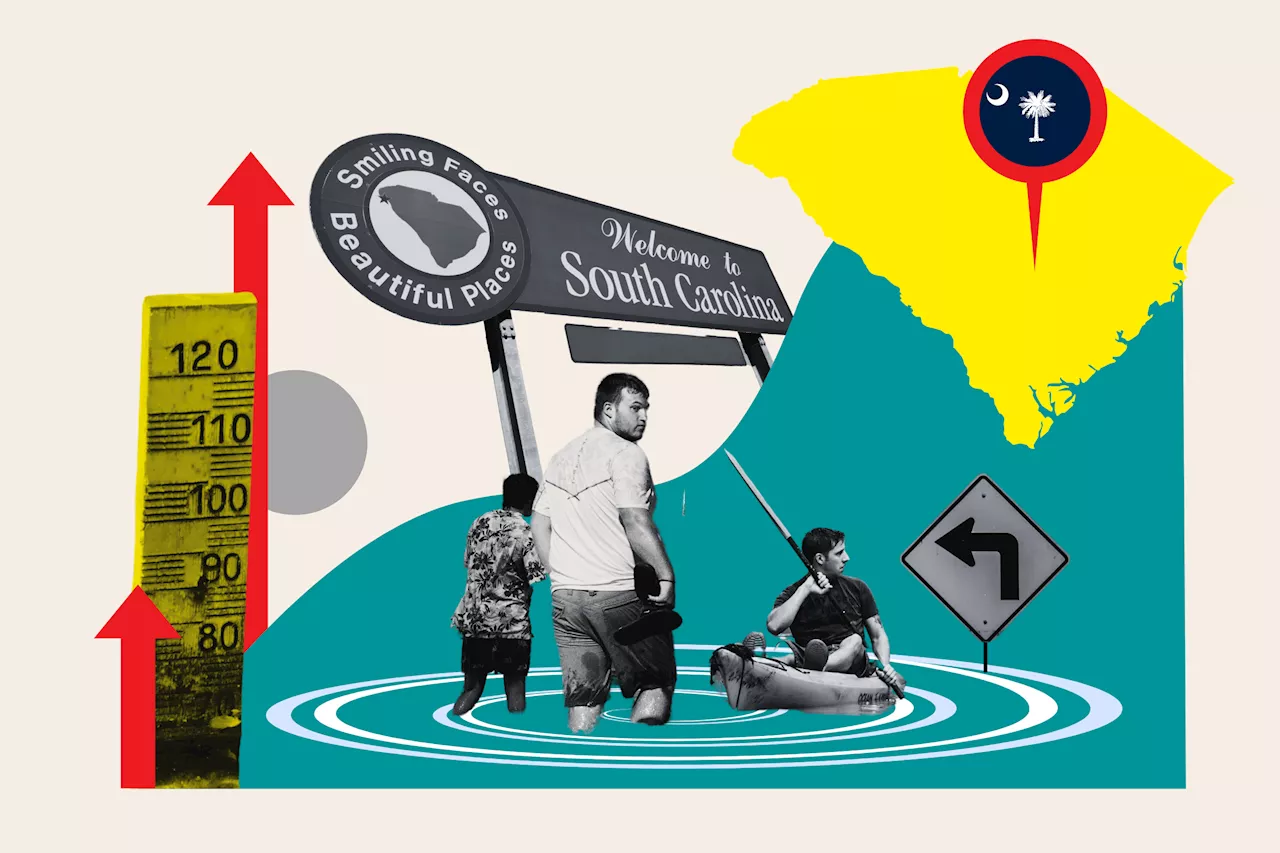
 South Carolina Map Shows How State Could Be Underwater From Sea Level RiseSea levels rose about 7.1 inches in Charleston between 2010 and 2023—four times the rate of the previous 30 years.
Read more »
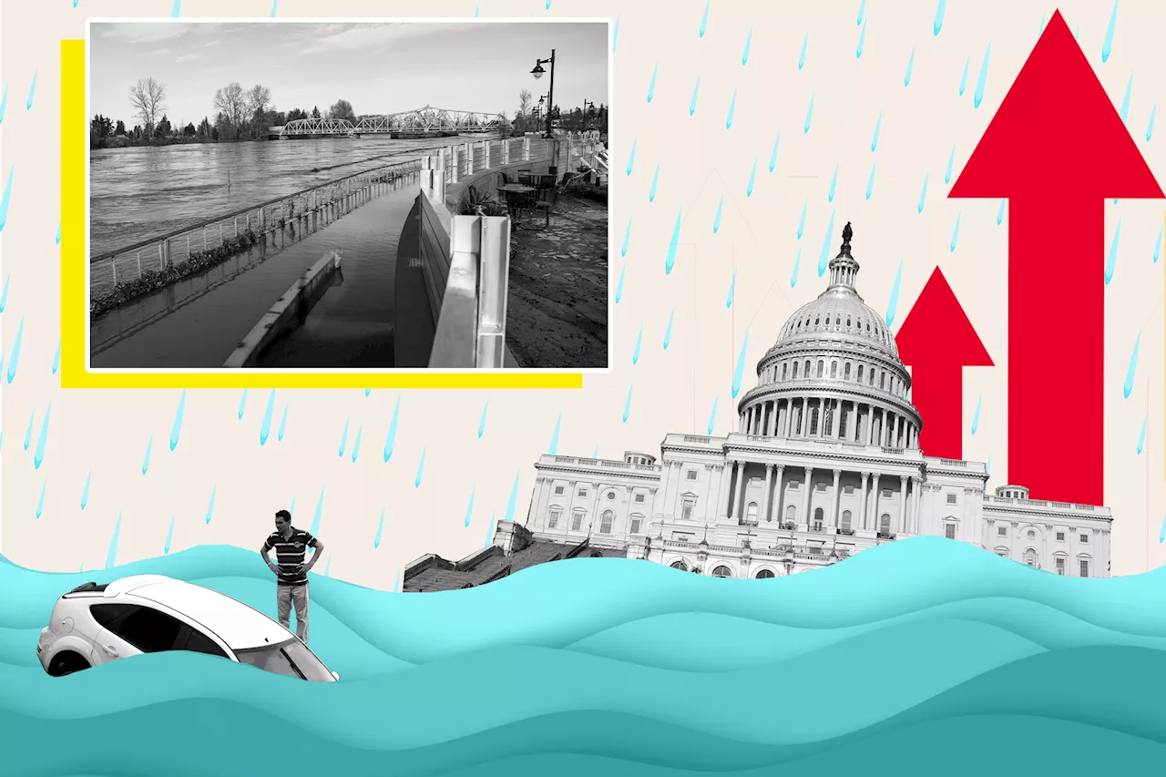
 Washington Map Shows Where State Could Be Underwater From Sea Level RiseAn interactive map shows how Washington's extensive coastal regions could be at risk as sea levels rise due to climate change.
Read more »
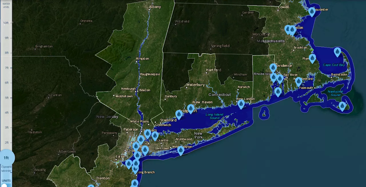
 Connecticut Map Shows Where State Could Be Underwater From Sea Level RiseProjections show that rising sea levels could encroach on several areas of the state.
Read more »
 2 Southcentral Alaska seal pups admitted to Alaska SeaLife CenterThe pups are the third and fourth seals from the state to be admitted this season.
Read more »
