The Asthma and Allergy Foundation of America ranks cities across the country for residents' susceptibility to seasonal allergies.
Itchy eyes and fits of sneezing are a common annual tradition during the spring allergy season, which seems to get more prominent each year. The Asthma and Allergy Foundation of America has calculated the cities in the U.S. where hay fever and related allergic reactions are most severe.More than 100 million Americans live with various types of allergies, according to the CDC, most often seasonal allergies caused by pollen. The AAFA once again crowned Wichita, Kan.
'We're seeing tree pollen season start about 20 days earlier than it did just 30 years ago,' Mendez said. 'So, nationally, we're noticing an earlier start to tree pollen release.'Mendez said the milder weather in February this year made pollen season start about two weeks earlier than usual. Pollen counts were also higher than average during that time.A warming climate is a major contributor to the longer and more intense allergy seasons, according to experts.
United Kingdom Latest News, United Kingdom Headlines
Similar News:You can also read news stories similar to this one that we have collected from other news sources.
 Gnuastro: Simulating The Exposure Map of a Pointing Pattern - Simulating the Exposure MapOptimizing astronomical observation strategies with Gnuastro 0.21's new pointing simulation tool and improving exposure mapping accuracy.
Read more »
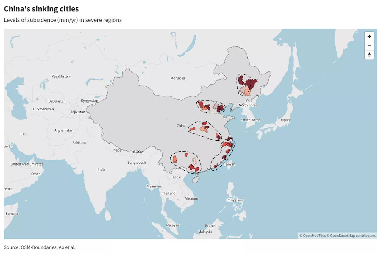
 China Climate Map Shows Sinking Cities Home to Quarter-Bllion PeopleMany of the population centers are on the East Coast, where rising sea levels will compound the risk of catastrophic flooding.
Read more »
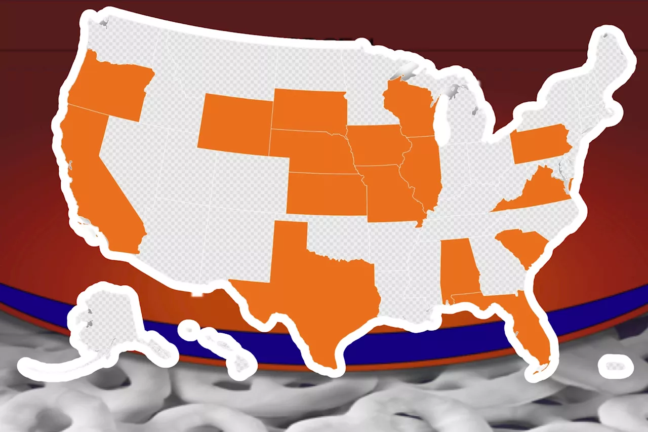
 Recall Map Shows States With Product Warnings for Walmart, Target, MoreNearly 30 confectionary products have been pulled from shelves in 17 states.
Read more »
 Map Shows Countries Eligible for US 'Diversity' VisasBrazil, Canada, China, Mexico and Venezuela are among the countries ineligible for U.S. diversity visa applications.
Read more »
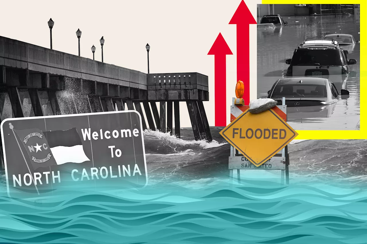
 North Carolina Map Shows Where State Could Be Underwater From Sea Level Rise An interactive map shows which parts of North Carolina might be submerged by rising sea levels, with its barrier islands and long coastline at risk.
Read more »
 Virginia Map Shows Where State Could Be Underwater From Sea Level Rise The Virginia Beach and the Hampton Roads region are experiencing the highest rate of sea level rise on the Atlantic coast.
Read more »
