
The northern lights were seen across the U.S. thanks to a powerful G5 geomagnetic storm.
Images taken from space have revealed the spectacular extent of the far-reaching northern lights this weekend.These gorgeous aurorae were visible from all 50 U.S. states on the night of May 10 and were triggered by a powerful G5 geomagnetic storm.This geomagnetic storm—caused by a train of coronal mass ejections fired toward us from the sun—was the most powerful that we have seen since 2003.
Such conditions are rare as they require a substantial activity to be present on the sun's surface for starters,' Daniel Brown, an associate professor in astronomy and science communication at Nottingham Trent University, in the United Kingdom, told Newsweek.'So there needs to be a large strong and complex sunspot there with substantial potential for flares, i.e. releasing massive energies built up through tension in the ever-twisting magnetic field lines in these regions.
United Kingdom Latest News, United Kingdom Headlines
Similar News:You can also read news stories similar to this one that we have collected from other news sources.
 Satellite maps boost mangrove conservation in ChinaMangroves are vital ecosystems along coastlines, providing essential services such as coastal protection, biodiversity enhancement, and carbon sequestration. Despite their critical importance, effective management of these areas is often hampered by the challenges of acquiring accurate, species-specific data.
Read more »
 Hidden code reveals new satellite feature for Android version of Google MapsAlan, an ardent smartphone enthusiast and a veteran writer at PhoneArena since 2009, has witnessed and chronicled the transformative years of mobile technology. Owning iconic phones from the original iPhone to the iPhone 15 Pro Max, he has seen smartphones evolve into a global phenomenon.
Read more »
 Satellite Image Shows Construction of Egypt's New CapitalThirty miles from Cairo, Egypt, the new city is projected to house five million residents and become a hub for government, sports and business operations.
Read more »
 Satellite Image Shows Construction of World's First Floating CityA floating city, considered the world's first, is starting to take shape in the turquoise waters of the Indian Ocean.
Read more »
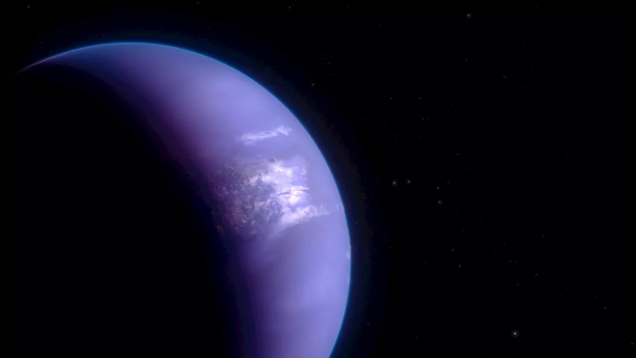 Fiery 5,000 MPH Winds: Webb Maps Weather on Extreme Exoplanet WASP-43 bScience, Space and Technology News 2024
Read more »
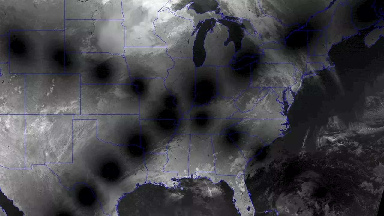 Eclipse from space: Paths of 2024 and 2017 eclipses collide over US in new satellite imageSatellite images capture striking differences between the 2017 and 2024 total solar eclipses that swept across North America, including variations in the moon's shadow along the path of totality.
Read more »