
Source of breaking news and analysis, insightful commentary and original reporting, curated and written specifically for the new generation of independent and conservative thinkers.
published by the Center for Strategic and International Studies on Monday indicated that, based on satellite imagery obtained by the organization, Cuba has significantly expanded some of its electronic eavesdropping stations with suspected ties to China.
CSIS explained that one of the four facilities identified – the base located in El Salao, east of the city of Santiago de Cuba – has been under construction since 2021 but had not been publicly confirmed to exist before. The satellite imagery reviewed for the report showed the base as featuring a large circularly disposed antenna array with a projected diameter of 130 to 200 meters .
“While it could operate downlink capabilities to access satellite data for a range of applications, the types of space-tracking capabilities observed are likely intended to monitor the activities of other nations with a presence in orbit,” the report explained. “Collecting data on activities like military exercises, missile tests, rocket launches, and submarine maneuvers would allow China to develop a more sophisticated picture of U.S. military practices,” the report stated.
United Kingdom Latest News, United Kingdom Headlines
Similar News:You can also read news stories similar to this one that we have collected from other news sources.
 Crimea Satellite Images Show Military Training Ground Fire SpreadingThe fire broke out on Cape Chauda in annexed Crimea at a launch site used by Russian forces to deploy kamikaze drones.
Read more »
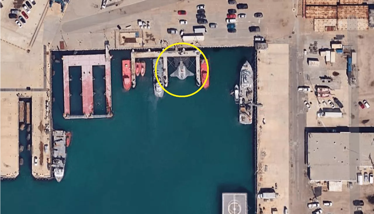 Satellite Images Show Secretive Underwater Drone Docked at Navy BaseThe high-tech aquatic drone 'Manta Ray' has been spotted in California on Google Maps.
Read more »
 North Korea Satellite Images Show Troops Building Border 'Wall'Satellite images of the Demilitarized Zone in North Korea has revealed new constructions near the border.
Read more »
 Satellite Images Show Aftermath of Hit on Russian Airfield Hosting Su-34sUkraine's defense intelligence chief Kyrylo Budanov said that his forces used at least 70 drones to strike the air base.
Read more »
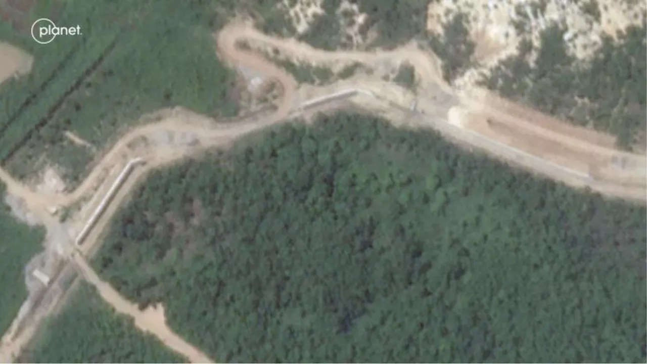
 North Korea Satellite Images Show Mysterious Activity Along BorderImagery reveals that North Korea has cleared a 1.8-mile strip of land extending into the demilitarized zone, marking yet another escalation in tensions with the South.
Read more »
 Fact Check: Do Photos Show USS Eisenhower Damage After Houthi Strike?Satellite images show aircraft carriers seemingly worn down and damaged by Houthi missile strikes.
Read more »