Multiple areas are still under evacuation warnings and orders.
An updated map of the Thompson Fire shows where California is still under evacuation orders and where restrictions have been lifted.The fire, which started in Butte Country on Tuesday morning, has forced thousands of Californians to leave their homes.The California Department of Forestry and Fire Protection has continued to update the public on which areas are under orders, warnings or 'shelter in place' instructions.
It was 29 percent contained at the time, after 2,219 personnel were assigned to dealing with it, along with 13 helicopters, 242 engines, 47 dozers, 52 water tenders and 39 crews.At least two people have been injured and more than 17 structures have been damaged, according to CAL FIRE's most recent damages and destruction report.
United Kingdom Latest News, United Kingdom Headlines
Similar News:You can also read news stories similar to this one that we have collected from other news sources.
 Thompson Fire Evacuation Map Shows California Homes in DangerThe blaze began on Tuesday morning and has since spread to more than 3,000 acres near Lake Oroville.
Read more »
 Map: Thompson Fire and evacuation zones at Lake OrovilleAlmost 50 square miles on Lake Oroville’s west shore was under evacuation order for the Thompson Fire.
Read more »
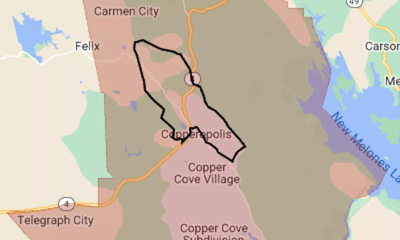
 Aero Fire map: Evacuation ordered as wildfire nears CopperopolisThe map shows the evacuation area in red. The black line indicates the approximate perimeter of the fire.
Read more »
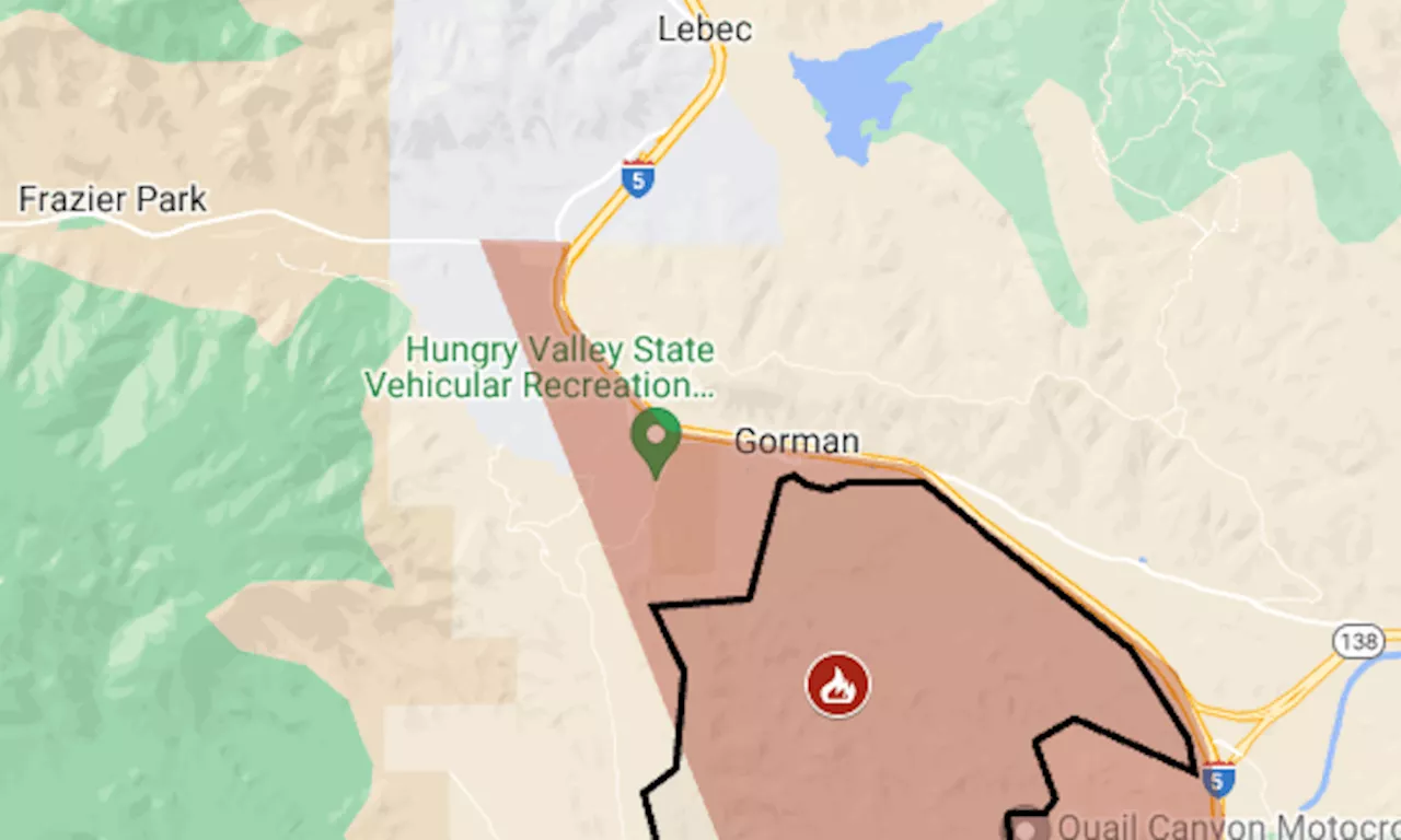
 Post Fire map: Evacuation for biggest wildfire of California’s seasonWildfire in Los Angeles and Ventura counties has reached Pyramid Lake, along I-5’s Grapevine section.
Read more »
 Post Fire map: Evacuation near I-5’s Grapevine sectionThe Post Fire, which was reported Saturday afternoon, already California’s second-biggest wildfire of the season.
Read more »
 28,000 under evacuation orders, 7 firefighters injured as Butte Co.'s Thompson Fire grows in sizeMore than 1,000 firefighters are currently fighting the flames at the Thompson Fire in Butte County. More than 3,500 acres have burned and at least seven firefighters have been injured.
Read more »
