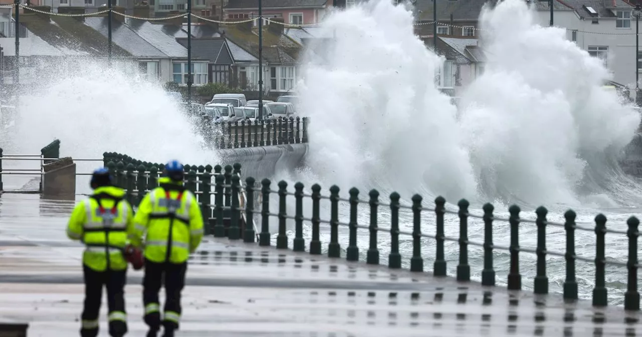
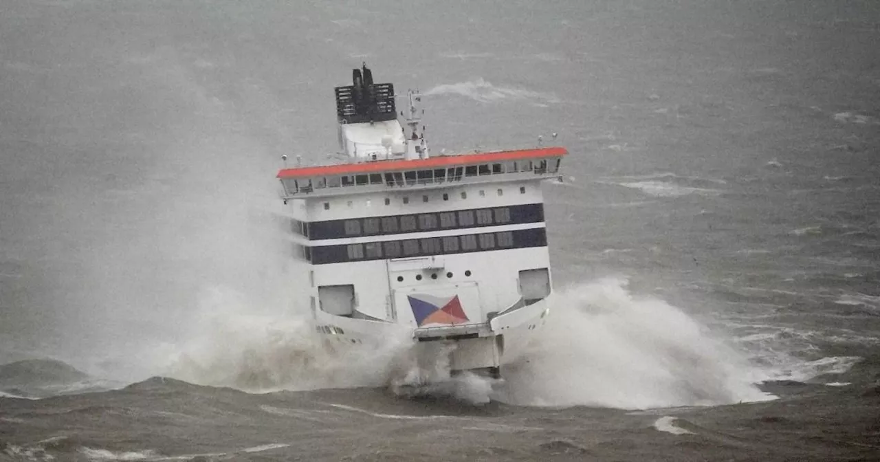
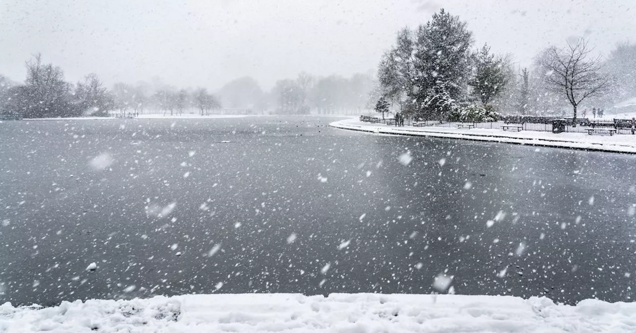
Storm Éowyn is set to bring major disruption to the UK with wind gusts reaching 107mph in some areas. Red weather warnings have been issued for Scotland and Northern Ireland, with rail services canceled, schools closed, and people advised to avoid travel. Strong winds, heavy rain, and snow are expected across the UK.
The UK is bracing for the strongest winds of the season so far, with one area of Scotland expected to see wind gusts of 107mph.
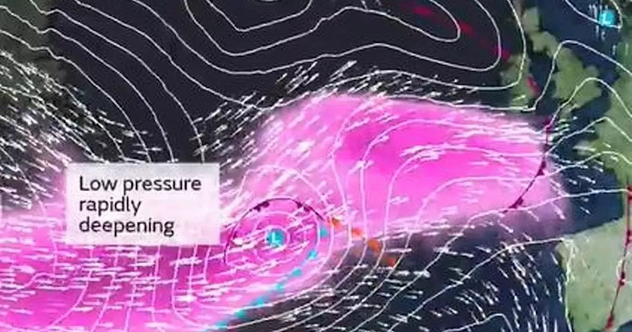
Met Office chief meteorologist Paul Gundersen said: “Storm Éowyn is a multi-hazard event, with snow likely for some, rain for many and strong winds for much of the UK. As a result, a number of weather warnings have been issued, with all parts of the UK covered by one warning at some point on Friday. The Met office said: "There may be a slight reduction in wind strength for a time as the centre of Storm Éowyn passes overhead, before winds rapidly increase again. The strong winds will ease from later on Friday."By 9am, the highest wind gusts are expected to hit the areas of Derry and Strabane, where maximum gusts of 91mph have been forecast. The northern areas of Ballycastle and Coleraine are also expected to see high wind speeds, with gusts of up to 88mph.
The Met Office said precipitation "will initially fall as snow, mainly over the higher ground, but much of this will turn to rain as milder air moves in". Weather maps show maximum gusts of 107mph on the Isle of Islay at midday on Friday. The island is the southernmost isle of the Inner Hebrides. Meanwhile, further south, where a yellow warning is in place, gusts of between 40 and 50mph are likely for a time, perhaps higher on exposed coasts and hills.
Storm Winds Weather Warning UK Scotland Northern Ireland Travel Disruption
United Kingdom Latest News, United Kingdom Headlines
Similar News:You can also read news stories similar to this one that we have collected from other news sources.
 Greater Manchester Braces for 'Strongest Winds of the Year' as Storm Threat LoomsThe Met Office warns of potentially disruptive gales and heavy rain across Greater Manchester later this week as a cold wave from America intensifies the jet stream, bringing winds of up to 250mph across the Atlantic.
Read more »
 UK Braces for 'Strongest Winds of Winter' as Powerful Jet Stream Brings Disruptive WeatherThe UK is set to experience potentially its strongest winds of the winter season, with a powerful Jet Stream reaching speeds of up to 250 mph. Heavy rain and disruptive weather are anticipated, raising the possibility of a new named storm. The Met Office predicts intense winds traveling across the UK on Friday, January 24, driven by a converging Jet Stream fueled by both arctic and tropical air.
Read more »
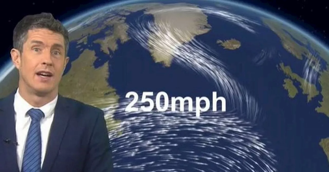 Met Office warns of 'strongest winds of the winter so far'One forecaster is predicting jet stream winds of 250mph describing it as a 'beast' that will bring an area of low pressure to the UK next weekend
Read more »
 Greater Manchester forecast as Met Office warns UK set for 'strongest winds'Winds of up to 40mph are set to batter the region
Read more »
 Jet stream threatens 'strongest winds of winter so far' across UK this weekendA yellow weather warning is in place for western Scotland and much of Northern Ireland, from Friday, but other areas will be hit with strong winds too.
Read more »
 Scots Braced for 'Strongest Winds of Winter' as Snow Set to HitScotland is expected to be battered by 'the strongest winds of winter' later this week, accompanied by heavy snow. An Atlantic jet stream will bring a mix of rain showers and snow, with the heaviest snowfall predicted to hit Perthshire, the Central and West Highlands. WX Charts predicts up to 11 inches of snow in the Cairngorms National Park.
Read more »