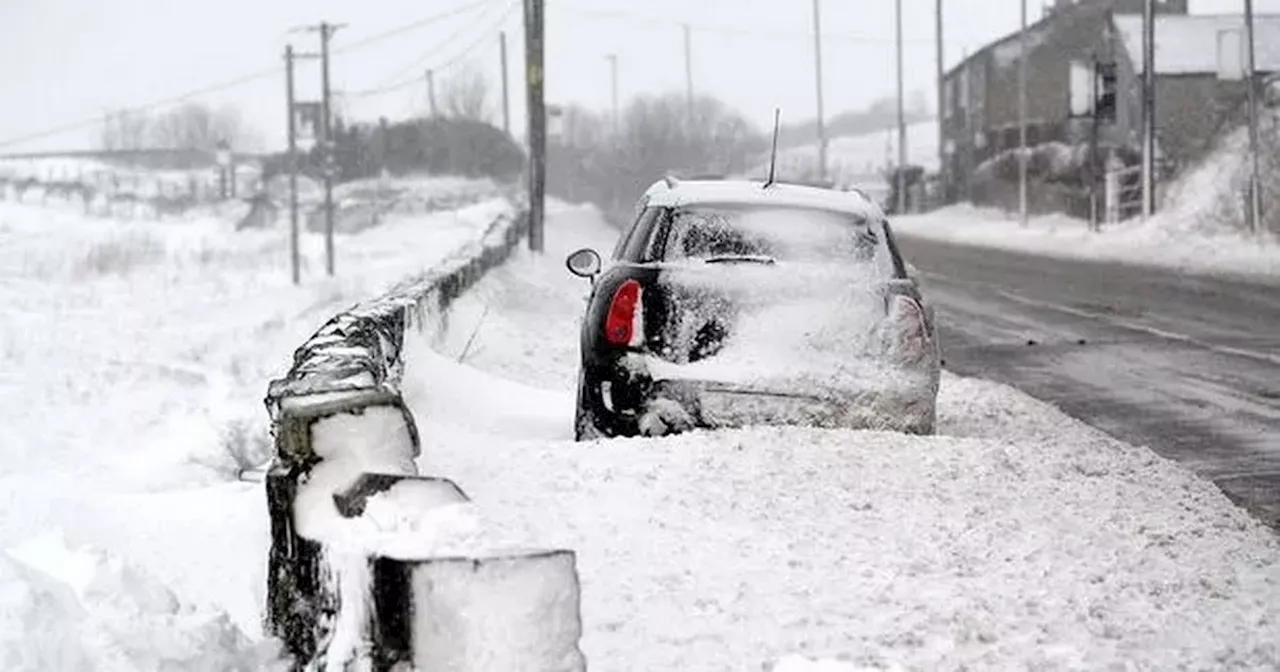
The UK is set to experience a significant snowfall event with five regions and a 367-mile stretch expected to be affected. Weather maps indicate potential snowfall rates of up to 1.5cm per hour on Monday, February 3, with the north of England and Scotland predicted to be the hardest hit. Other regions likely to be impacted include Northern Ireland, the North East, the North West, and Yorkshire and the Humber. This comes as an intense winter storm approaches, with weather maps turning a striking shade of orange. Forecasters predict heavy snowfall, fierce gales, and 'disruptive' jet stream activity.
The UK is bracing for more snowfall, with five regions spanning a 367-mile stretch anticipated to be affected by wintry weather. Weather maps from WXCHARTS reveal that certain parts of the country could experience up to 1.5cm of snow per hour on Monday, February 3. The north of England and Scotland are predicted to be the hardest-hit areas. Other regions likely to be impacted include Northern Ireland, the North East, the North West, and Yorkshire and the Humber.
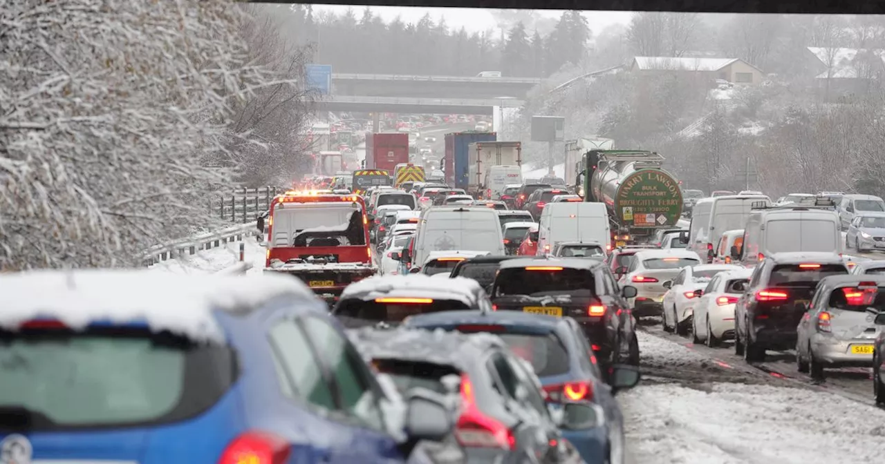
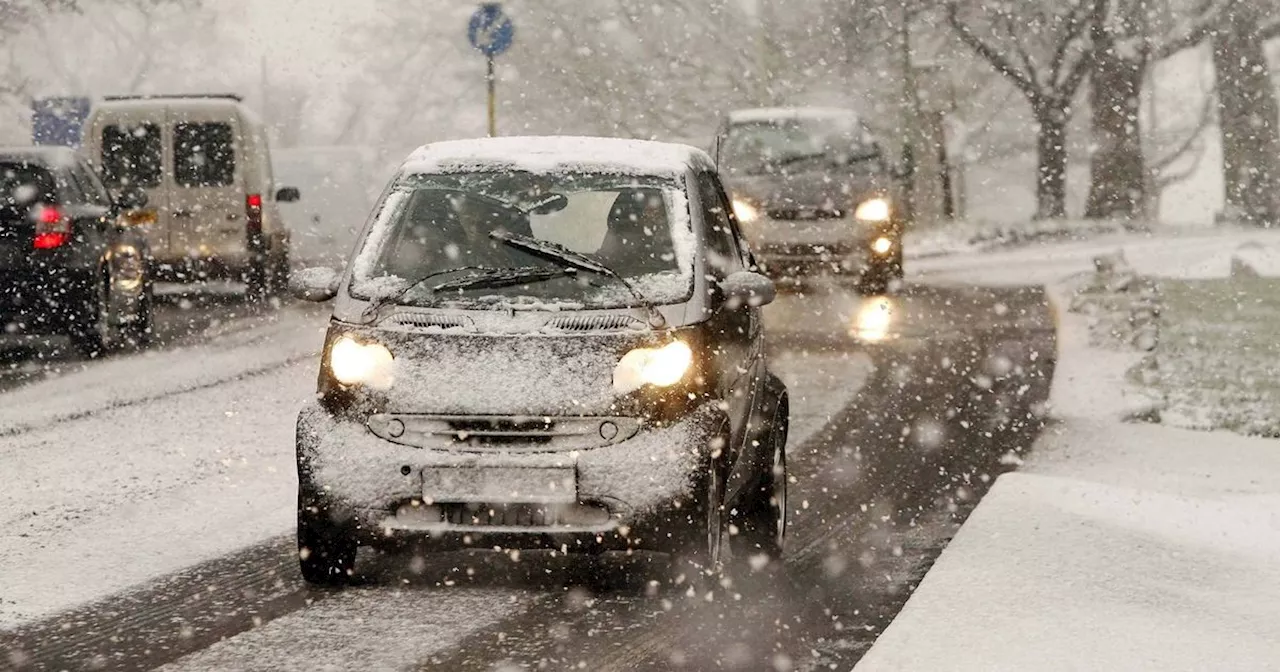
Northern areas could see snowfall rates ranging from 0.2 to 2cm per hour. This comes as the UK remains on alert as weather maps turn a striking shade of orange, signaling the approach of an intense winter storm. As January progresses, forecasters predict heavy snowfall, fierce gales, and 'disruptive' jet stream activity across the nation. Recent data from Met Desk, accessed through WX Charts, indicates that vivid orange patches on snow maps are indicative of severe snow accumulations. Following a Met Office advisory regarding the imminent arrival of the season's 'strongest' winds, there is an expectation of widespread snow coverage throughout the country. Current forecasts suggest that the Scottish Highlands might receive up to 10cm of snow, while lighter snowfalls could grace Manchester, Birmingham, and select areas within West Yorkshire and North Yorkshire. BirminghamLive has also indicated the potential for a winter storm that could deliver freezing rain and icy blasts. The graphics highlight an approaching low-pressure system with a central pressure measuring a significant 945mb. Here, the bright orange hues represent the chance of snow falling at a rate of 6cm per hour - a frequency considered exceptionally rare by meteorologists. Terry Scholey from Netweather TV commented: 'It's set to be a mostly cloudy and damp week across the UK, with some brighter spells in the north and west. The weather will become more unsettled towards the end of the week and into the weekend with an increased chance of rain and strong winds.' He further explained the shift in weather patterns: 'We're moving from a period of high pressure to a much more unsettled pattern with the potential for some very strong winds. This change will be triggered by a potent northerly blast over North America which will help to fuel the jet stream.' The Met Office long-range forecast states: 'The start of February is likely to continue on an unsettled and relatively mild theme, with periods of rain, showers and strong winds, alternating in most parts with short-lived brighter and cooler interludes. Pressure may build across southern areas towards mid-month, which would result in longer drier and more-settled spells here, albeit with an increased chance of overnight fog and frost.' This follows snow that has already caused substantial disruptions across the UK in the first month of 2025. The weather had a severe impact on trains, flights, roads, and even led hundreds of schools to close. It appears the snowy conditions are poised to continue into February with this cold blast expected to hit on February 3. Brits should prepare for further disruptions which could arise from the snow anticipated in early February
Heavy Snowfall Winter Storm UK Weather Snow Forecast Met Office WXCHARTS Storm Warning
United Kingdom Latest News, United Kingdom Headlines
Similar News:You can also read news stories similar to this one that we have collected from other news sources.
 UK Braces for Potential 'Severe' Snowfall Next WeekFollowing a mild Christmas, the UK is expected to experience a sudden drop in temperatures with potential for widespread snowfall by mid-week.
Read more »
 UK Braces for 'Severe' Snowfall as Temperatures PlungeThe UK is experiencing a period of mist and fog but a dramatic shift in weather is expected as we approach the new year. The Met Office warns of potential 'severe' snowfall in parts of the UK next week.
Read more »
 UK Braces for Severe Snowfall as Mild Weather Takes a Dramatic TurnHeavy snowfall is predicted for the UK next week, marking a stark contrast to the recent mild Christmas period. The Met Office warns of 'severe' conditions, with Scotland potentially facing significant snow and hail.
Read more »
 UK Braces for Heavy Snowfall as Winter Storm ApproachesMeteorological experts predict up to 24cm of snow in a severe winter onslaught, with the Scottish Highlands and northern England expected to be hardest hit. Central regions, like Birmingham, are likely to avoid the snow.
Read more »
 UK Braces for Heavy Snowfall as New Year ApproachesMeteorological experts predict up to 24cm of snow in a severe winter onslaught, with the Scottish Highlands and parts of northern England likely to be hit hardest around January 2. Central regions like Birmingham may dodge the snowfall, but Scotland could see a significant dump of snow as we ring in 2025.
Read more »
 Britain Braces for Heavy Snowfall on New Year's DayA major snowstorm is predicted to hit Britain on New Year's Day, bringing over 25cm of snow to some areas. Scotland is expected to be worst affected, with temperatures plummeting well below freezing. Southern England will experience milder conditions.
Read more »